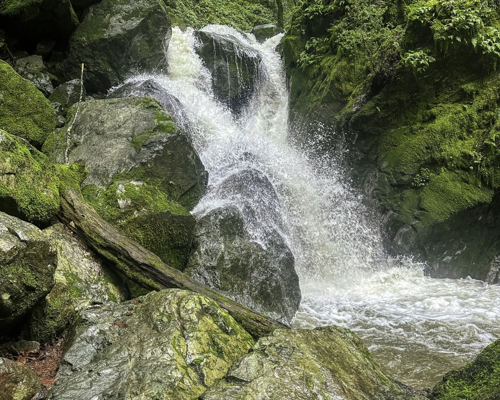
Sonoma Creek Waterfall
The waterfall at Sugarloaf Ridge State Park, labeled Sonoma Creek Falls on the park's hike map, is about 25 feet high and flows after winter rains. There are three ways to reach it from Adobe Canyon Road: a 0.4-mile round trip on the lower Canyon Trail, a steeper 0.8-mile round trip on the upper Canyon Trail with more than 100 stairs, or the recommended 2-mile Pony Gate-Canyon Loop. Parking is not free anywhere on the road.
The Waterfall at a Glance
When the Waterfall Is Running
State Parks says the falls flow after the winter rains, and its brochure notes that Sonoma Creek often dries up by late summer. The wet season runs roughly November through April, so winter and spring are the times to go. Sonoma Creek starts inside the park, and the falls sit in the redwood canyon below the campground.
Route 1: Lower Canyon Trail (Shortest)
- Distance: about 0.4 miles round trip.
- Climb: about 40 feet, with some steps.
- Parking: about a quarter mile past the green gate at the park entrance, look for three gravel pullouts signed "Waterfall Parking" and "Fee Area."
If you don't already have a Sugarloaf or California State Parks annual pass, you need a day-use pass: buy one in the main park area, or pay cash at the Goodspeed parking lot near the entrance (fees).
Route 2: Upper Canyon Trail
- Distance: about 0.8 miles round trip.
- Climb: about 400 feet, on a steep trail with more than 100 stairs.
- Parking: the upper Canyon lot, about 300 yards before the entry kiosk, or the main lot (then walk back down past the kiosk).
Take the Canyon Trail across from the lot and follow it down to the falls. Turn left at the waterfall sign; the short side path ends at the falls.
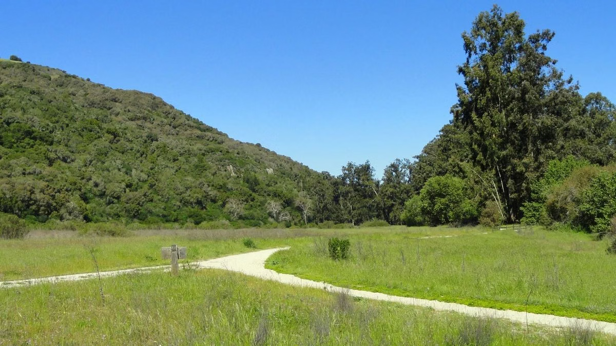
Route 3: Pony Gate-Canyon Loop (Recommended)
- Distance: 2 miles round trip.
- Climb: about 450 feet, with more than 100 stairs.
- Time: about an hour.
- Start: either at the upper corner of the Canyon parking lot, or at the Pony Gate trailhead across from the kiosk, to the left of the flagpole.
The operator recommends walking the Pony Gate Trail first and returning on the Canyon Trail. To link them, cross Adobe Canyon Road and find the Canyon Trail about 30 yards downhill from the Pony Gate trailhead. The loop passes shady forest and tall redwoods on the way to the falls.
Tips for the Waterfall Hike
- Bring the handout. The Visitor Center lends a waterfall route map and asks hikers to return it afterward.
- No dogs. Dogs are not allowed on trails, including this one (dog rules).
- Plants and wildlife are protected. Leave rocks, plants and mushrooms where they are.
- Swimming: the creek is not deep enough to swim.
More Hikes Nearby
After the falls, the Creekside Nature Trail follows the same creek past the campground on a flat, accessible path, and the trail to Bald Mountain climbs from the main lot for the park's biggest views.
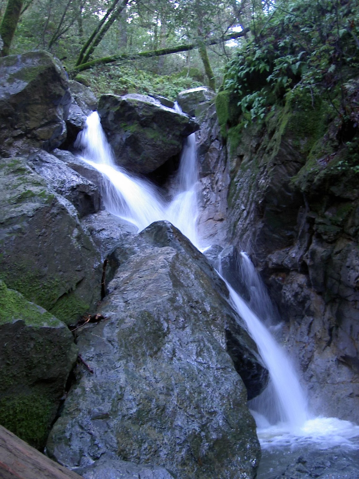
Sonoma Creek Waterfall FAQ
Is there a waterfall at Sugarloaf Ridge State Park?
Yes. A 25-foot seasonal waterfall on Sonoma Creek, labeled Sonoma Creek Falls on the park's map, flows after the winter rains.
How far is the Sugarloaf Ridge waterfall hike?
The shortest route is about 0.4 miles round trip on the lower Canyon Trail. The recommended Pony Gate-Canyon Loop is 2 miles with about 450 feet of gain.
What months is the Sugarloaf Ridge waterfall flowing?
Winter and spring, after rain. The creek often dries up by late summer, and the falls may be a trickle or dry.
Where do you park for the Sugarloaf Ridge waterfall?
Use the gravel waterfall pullouts a quarter mile past the entrance gate, the Canyon lot 300 yards below the kiosk, or the main lot. A day-use pass is required; there is no free parking on Adobe Canyon Road.
Can you swim at Sonoma Creek Falls?
No. State Parks says the creek is not deep enough for swimming.
Facts checked against the California State Parks page for Sugarloaf Ridge State Park on October 24, 2026.