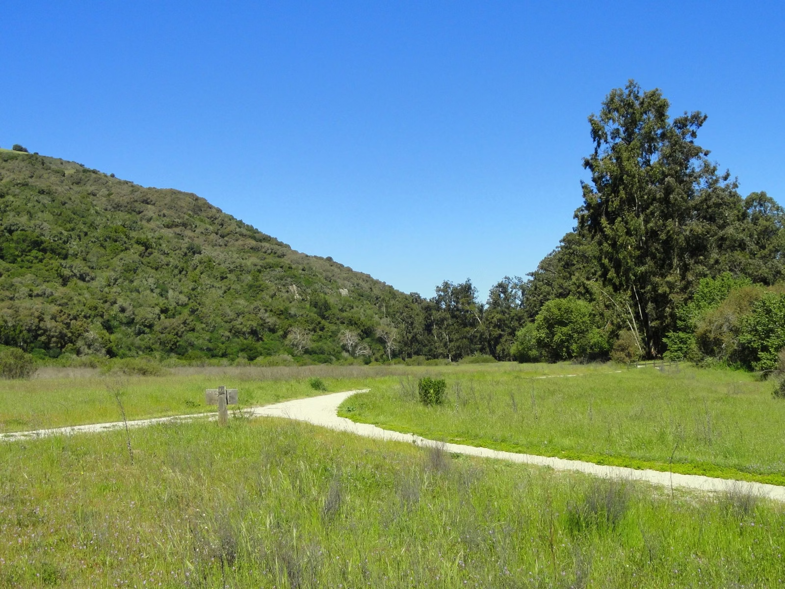
Trail Map
The current Sugarloaf Ridge State Park trail map is the "Sugarloaf Park Map" on the Maps & Guides page of the park operator's website, sugarloafpark.org, and paper copies are at the Visitor Center. The same page has the 2025 campground maps and printable handouts for the waterfall loop, the Quest Hike, the Creekside Nature Trail, the Fire Recovery Walk and the Planet Walk. California State Parks also links an interactive map from its park page.
Sugarloaf Ridge Maps
Where to Get the Map
- Online park map: the "Sugarloaf Park Map" image on the operator's Maps & Guides page. Save it to your phone before you drive up; the park's Wi-Fi is limited to the area around the Visitor Center.
- Paper map: ask at the Visitor Center during its 9-to-5 hours (hours).
- Campground maps: two 2025 versions, one for April through October (with the glamping sites) and one for November through March, each also in Spanish (camping).
- State Parks: the parks.ca.gov page links an interactive "Explore map of the park" and the official park brochure PDF.
How the Trailheads Are Laid Out
Adobe Canyon Road climbs into the park from Highway 12 and is the spine everything hangs off. From the bottom up:
- Goodspeed lot, by the park entrance in the lower park, with a cash fee box. Start here for the Goodspeed Trail toward Hood Mountain Regional Park.
- Waterfall pullouts, three gravel spots about a quarter mile past the green entrance gate, for the lower Canyon Trail.
- Canyon lot, about 300 yards below the entry kiosk. The upper Canyon Trail and the Pony Gate Trail both start here.
- Entry kiosk and Visitor Center. The Pony Gate trailhead is across from the kiosk, left of the flagpole.
- Main day-use lot and picnic area. The Creekside Nature Trail, the Lower Bald Mountain Trail, the Stern Trail and the Quest Hike begin here.
- White Barn lot, observatory and group camp. The Meadow Trail, the Hillside Trail and the Planet Walk start near the Robert Ferguson Observatory.
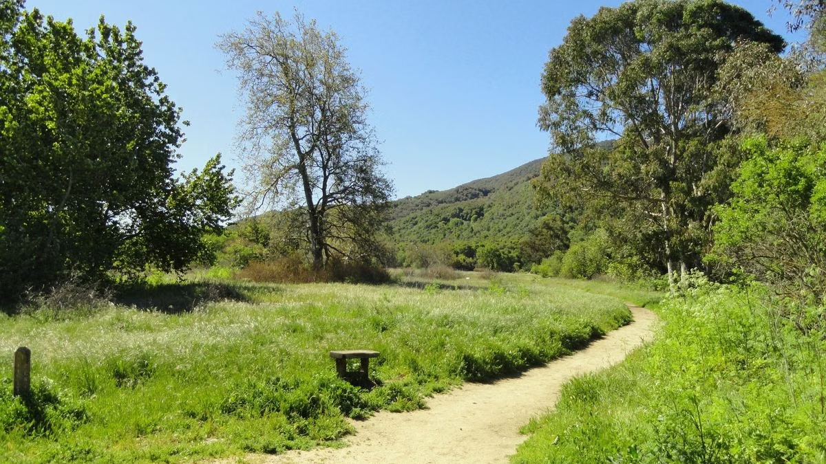
Named Trails on the Map
These are the trails the operator's hiking guide uses to build its suggested routes:
- Creekside Nature Trail along Sonoma Creek, the accessible route.
- Meadow Trail, a gravel fire road from the observatory area, and the Hillside Trail above it.
- Canyon Trail and Pony Gate Trail, the two halves of the waterfall loop.
- Lower Bald Mountain Trail and Stern Trail, both climbing to the Bald Mountain Trail (Bald Mountain).
- Vista Trail, Gray Pine Trail, Red Mountain Trail and Headwaters Trail, linking the upper slopes.
- High Ridge Trail, out toward the Red Barn at the park boundary.
- Brushy Peaks Trail, with steep dirt sections the guide puts at over 40 percent grade.
- Goodspeed Trail, which becomes the Nattkamper Trail in Hood Mountain Regional Park.
For distances, elevation and time on each suggested route, see Hiking Trails.
Reading the Map
- Named trails only: horses and bikes may use only designated, named trails, and some are posted closed to one or both. Check the trailhead signs.
- Seasonal creek crossings on the Gray Pine and Hillside trails can be high after storms.
- Park boundary: the Red Barn on the High Ridge Trail is the end of state park property. Don't continue past it.
Trail Map FAQ
Where is the Sugarloaf Ridge State Park trail map available?
Online on the Maps & Guides page of sugarloafpark.org (the "Sugarloaf Park Map"), or as a paper map at the Visitor Center. State Parks also links an interactive map from parks.ca.gov.
Is there a campground map for Sugarloaf Ridge?
Yes. The operator posts 2025 campground maps for April–October and November–March, in English and Spanish.
Where do the trails start at Sugarloaf Ridge?
Most start from the main day-use lot, the Canyon lot below the kiosk, or the lot near the observatory. The Goodspeed Trail starts by the park entrance.
Facts checked against the California State Parks page for Sugarloaf Ridge State Park on October 24, 2026.