About the Park
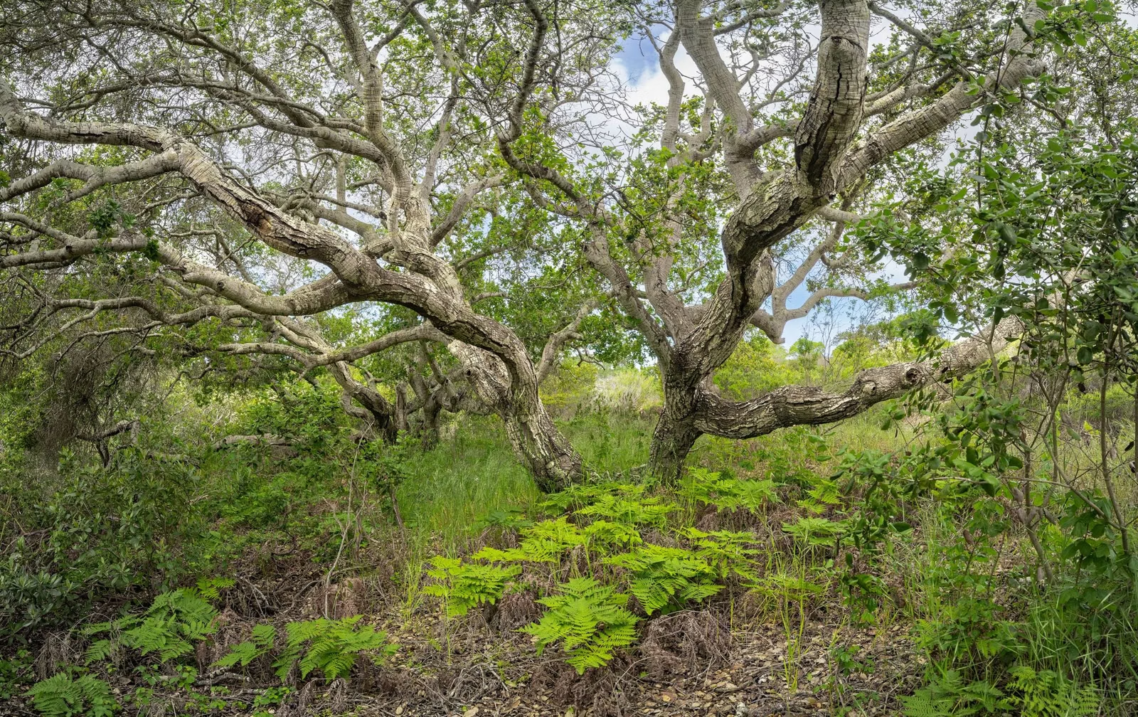
Sugarloaf Ridge State Park is a California state park in the Mayacamas Mountains northeast of Kenwood, between the Sonoma and Napa valleys. It takes its name from the cone shape of the ridge on its southern edge, and it holds the headwaters of Sonoma Creek. California State Parks owns it, but since June 1, 2012 the park has been run day to day by the nonprofit Sonoma Ecology Center, working as Team Sugarloaf.
Sugarloaf Ridge at a Glance
How Sugarloaf Ridge Got Its Name
In the 1800s, sugar was sold molded into cone-shaped loaves, and hills with that shape were often nicknamed "sugarloaf." State Parks says the park is named for the shape of the ridge along its southern edge.
Who Runs the Park
- Owner: California State Parks.
- Day-to-day operator: the Sonoma Ecology Center. Team Sugarloaf began in 2012 as a partnership of five nonprofits led by the center; today the center runs the park on its own.
- State staff: State Parks' accessibility page notes that no State services or staff are on site.
- Funding: the operator says the park receives no operating support from the state and relies on visitor fees, memberships and donations.
- The observatory: the Robert Ferguson Observatory is run by a different nonprofit, the Valley of the Moon Observatory Association (observatory).
- Partner group: State Parks names the Valley of the Moon Natural History Association as a partner to its Sonoma Valley parks, including this one.
This site is not affiliated with any of these organizations.
The Wappo and Wilikos
State Parks' brochure describes the Wappo as one of California's oldest native groups. Before Spanish settlement, a Wappo village called Wilikos stood along the upper reaches of Sonoma Creek, and acorn grinding rocks can still be seen in the area. The Wappo were known for fine basketry and careful land management, gathered obsidian on the slopes of Mount Saint Helena, and traded with the Pomo. They resisted the Spanish around 1823 but were later forced onto reservations, and much of their language and culture was lost; some descendants are working to revive the language.
Ranches, a Proposed Dam and a State Park
- 1870s: settlers were living in the hills near Sugarloaf Ridge, scratching out marginal farms; one burned trees for charcoal sold in San Francisco.
- Later: "gentlemen farmers" owned the ridge and hired managers to run their ranches.
- 1920: the State of California bought the land to dam the creek for water for Sonoma State Hospital. Neighbors along the creek objected.
- To World War II: the land was used for camping, picnicking and a Boy Scout camp.
- 1942: it was leased for grazing.
- 1964: it joined the California State Park System.
- 2012: Team Sugarloaf took over day-to-day operation on June 1.
Three Kinds of Country
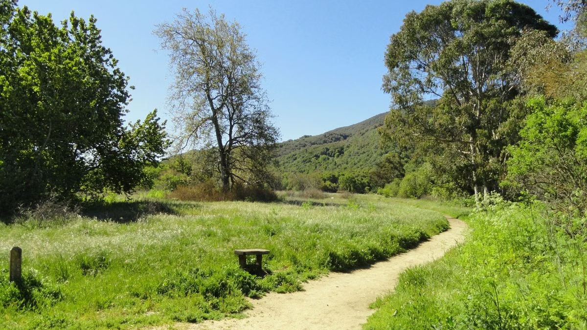
The park spans three habitats, State Parks says: chaparral on the ridges, oak and fir woodland around the open meadows, and redwood forest in the Sonoma Creek canyon. Big-leaf maple, madrone, California bay, gray pine and alder grow here too, and the chaparral includes California lilac, coyote bush, toyon and wine bush. Poison oak is common, and stinging nettles grow along the creek.
Sonoma Creek
Sonoma Creek begins inside the park and runs about three miles through its southern part. After winter rain it spills over a 25-foot waterfall below the campground (waterfall). The creek is too shallow for swimming and often dries up by late summer.
Wildflowers and Wildlife
In spring the hills fill with California poppies, cream cups, penstemon, buttercups, shooting stars, trillium and Indian warrior, with clarkia, scarlet larkspur, mariposa lilies and monkeyflowers into early summer. Deer, gray foxes and the occasional bobcat and coyote live in the park. Every plant and animal is protected: collecting anything, mushrooms included, is prohibited.
Fire and Stewardship
State Parks and Team Sugarloaf keep defensible space around park buildings and busy areas, and maintain the fire roads for emergency access. State Parks also uses prescribed fire with CAL FIRE in the grasslands and meadows: it lists a burn along the Meadow Trail in June 2025 and more than 500 brush piles burned between 2023 and 2025. The operator's self-guided Fire Recovery Walk explains how fire changes the vegetation (hiking).
About the Park FAQ
Who runs Sugarloaf Ridge State Park?
California State Parks owns it, and the nonprofit Sonoma Ecology Center has run it day to day since June 1, 2012, originally as part of the Team Sugarloaf partnership.
Why is it called Sugarloaf Ridge?
For the cone shape of the ridge on its southern edge. In the 1800s sugar was sold in cone-shaped loaves, and hills of that shape were called sugarloaves.
When did Sugarloaf Ridge become a state park?
In 1964. The state had bought the land in 1920 to dam the creek for Sonoma State Hospital's water supply, a plan neighbors opposed.
Is Sugarloaf Ridge State Park in Napa or Sonoma?
Sonoma County. The park is northeast of Kenwood in the Mayacamas Mountains, between the Sonoma and Napa valleys, and its summit looks over the Napa Valley.
What animals live at Sugarloaf Ridge?
Deer, gray foxes, and the occasional bobcat and coyote, according to State Parks. Raccoons visit the campground at night.
How This Site Checks Facts
This is an independent visitor guide to Sugarloaf Ridge State Park. It is not run by or affiliated with the California Department of Parks and Recreation.
Hours, fees, rules and trail figures are checked against the California State Parks page for Sugarloaf Ridge State Park, last on October 24, 2026. Where this site and the agency differ, the agency is right.
If something here is out of date, please tell us through the contact page.