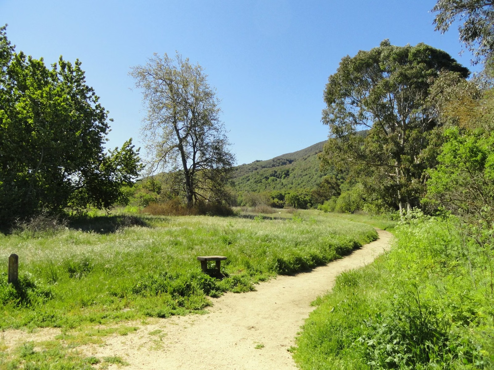
Hiking Trails
Sugarloaf Ridge State Park has 25 miles of trails through oak woodland, chaparral and the redwood canyon of Sonoma Creek. For a short walk, take the 1-mile Creekside Nature Trail. For the waterfall, hike the 2-mile Pony Gate-Canyon Loop. The signature hike is Bald Mountain: 5.6 miles round trip and 1,529 feet of climbing to a 2,729-foot summit. Dogs are not allowed on any trail.
Sugarloaf Ridge Hiking in Brief
Which Hike Should You Pick?
The park's own hiking guide sorts hikes by the time you have:
- About an hour: one of the family hikes below.
- Up to two hours: the Vista Trail Loop.
- Three hours or more: Bald Mountain or one of the long loops.
- You want a waterfall: the Pony Gate-Canyon Loop, best after winter rain (waterfall guide).
- You need an accessible route: the Creekside Nature Trail or the gravel Meadow Trail.
Much of the park is open grassland and chaparral, so many routes are 70 to 90 percent in the sun. In summer, start early and carry water.
Family Hikes (About an Hour)
- Creekside Nature Trail: about 1 mile, easy and shady. Park in the main lot, cross the road and follow the creek, looping back through the campground. Pick up the trail guide at the Visitor Center. About 30 minutes.
- Meadow-Hillside Loop: 2 miles, easy to moderate, 250 feet of elevation change. Start at the observatory, follow the Meadow Trail and the Planet Walk, and return on the shadier Hillside Trail. About an hour.
- Pony Gate-Canyon Loop: 2 miles, moderate, about 450 feet of gain and over 100 stairs, through redwoods to the 25-foot seasonal waterfall. About an hour.
- Quest Hike: 1.4 to 1.9 miles, easy, with rhyming clues to follow and a treasure box at the end. Starts on the Lower Bald Mountain Trail from the main day-use lot.
- Fire Recovery Walk: 1.8 miles, moderate, 350 feet of change, with a printed guide about how fire changes the plants. Starts at the Lower Bald Mountain trailhead.
Half-Day Hikes (Two to Three Hours)
- Vista Trail Loop: 4.1 miles, moderate, 600 feet of gain, mostly sunny. Take the Stern or Lower Bald Mountain Trail, turn right on the Bald Mountain Trail, right on the Vista Trail and right on the Gray Pine Trail, then return on the Meadow Trail. Hike it in reverse for a shadier climb. Good for spring flowers.
- Bald Mountain: 5.6 miles round trip, moderate to strenuous, 1,529 feet of gain, about three hours. Full route on the Bald Mountain page.
- Brushy Peaks to the Neptune picnic table: 5.2 miles, moderate, 900 feet of gain and only about a third in the sun.
- Goodspeed Trail to the park boundary: 4.2 miles round trip, moderate, 900 feet of gain, from the lower parking lot to a bench just past the boundary with Hood Mountain Regional Park.
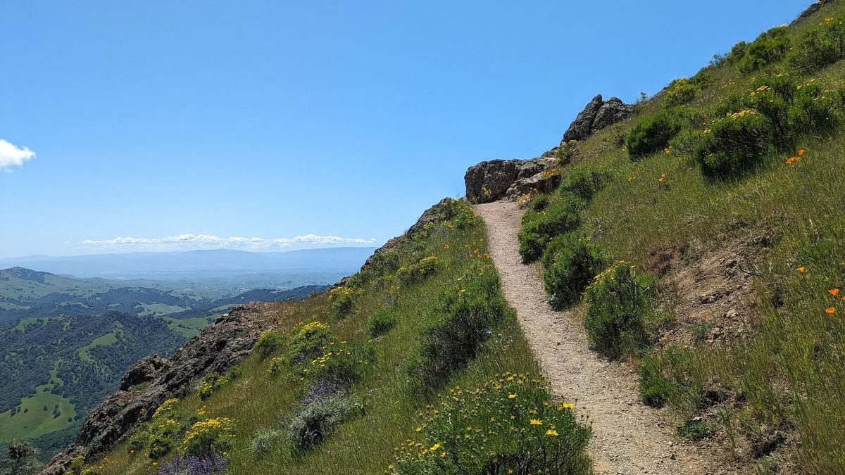
Long Hikes (Three Hours or More)
- Bald Mountain Loop: 6.6 miles, 1,529 feet of gain. Summit, then descend the Gray Pine Trail (not the High Ridge Trail).
- Bald Mountain Summit Loop with Red Mountain and Headwaters: 7.4 miles, about four hours.
- Bald Mountain to Brushy Peaks (the Big Loop): 8.2 miles, strenuous, 2,000 feet of gain. The guide warns of steep dirt sections over 40 percent grade on Brushy Peaks; hiking poles help.
- Bald Mountain to the Red Barn: 8.8 miles round trip, strenuous, 2,500 feet of change, out along the High Ridge Trail to an old homestead barn at the edge of state park land. Do not go past the boundary.
- Goodspeed Trail to Gunsight Rock: 7.5 miles round trip, strenuous, 2,000 feet of gain. The Goodspeed Trail becomes the Nattkamper Trail as it enters Hood Mountain Regional Park, a separate county park; Gunsight Rock looks over the Sonoma Valley.
Sunset Walks
For a short evening walk, the hiking guide points to Camp Butler, a picnic spot on the Hillside Trail with views of the valley and Hood Mountain. The shortest way is 0.3 miles each way from the White Barn parking lot; from the main lot via the Nature Trail it is about 0.75 miles each way.
The Planet Walk
The Planet Walk is a scale model of the solar system laid out along the Meadow Trail, starting at the Sun near the Robert Ferguson Observatory. The easy version runs Sun to Saturn and back in 2.2 miles; the full walk to Pluto is 5.3 miles with 1,100 feet of change (observatory).
Accessible Trails
The Creekside Nature Trail is State Parks' listed accessible trail: about half a mile one way on compacted gravel between the main day-use area and the parking near the observatory, mostly under 5 percent grade, with accessible parking and restrooms. The Meadow Trail is a gravel fire road that many wheelchairs can manage for roughly the first three-quarters of a mile, though gravel can work loose.
Biking and Horseback Riding
Mountain bikes are allowed only on designated fire roads and service roads, at no more than 15 mph, and riders yield to horses. Horses and bikes may only use named trails, and some named trails are posted closed to one or both. Check the signs at each trailhead.
Trail Safety
- Watch for poison oak on most trails and stinging nettles along the creek.
- Several routes have seasonal creek crossings that can run high after storms.
- Stay on named trails; do not cut switchbacks.
- After storms, ask at the Visitor Center or kiosk about temporary closures and report downed trees to the park office.
See the trail map for where each trailhead is.
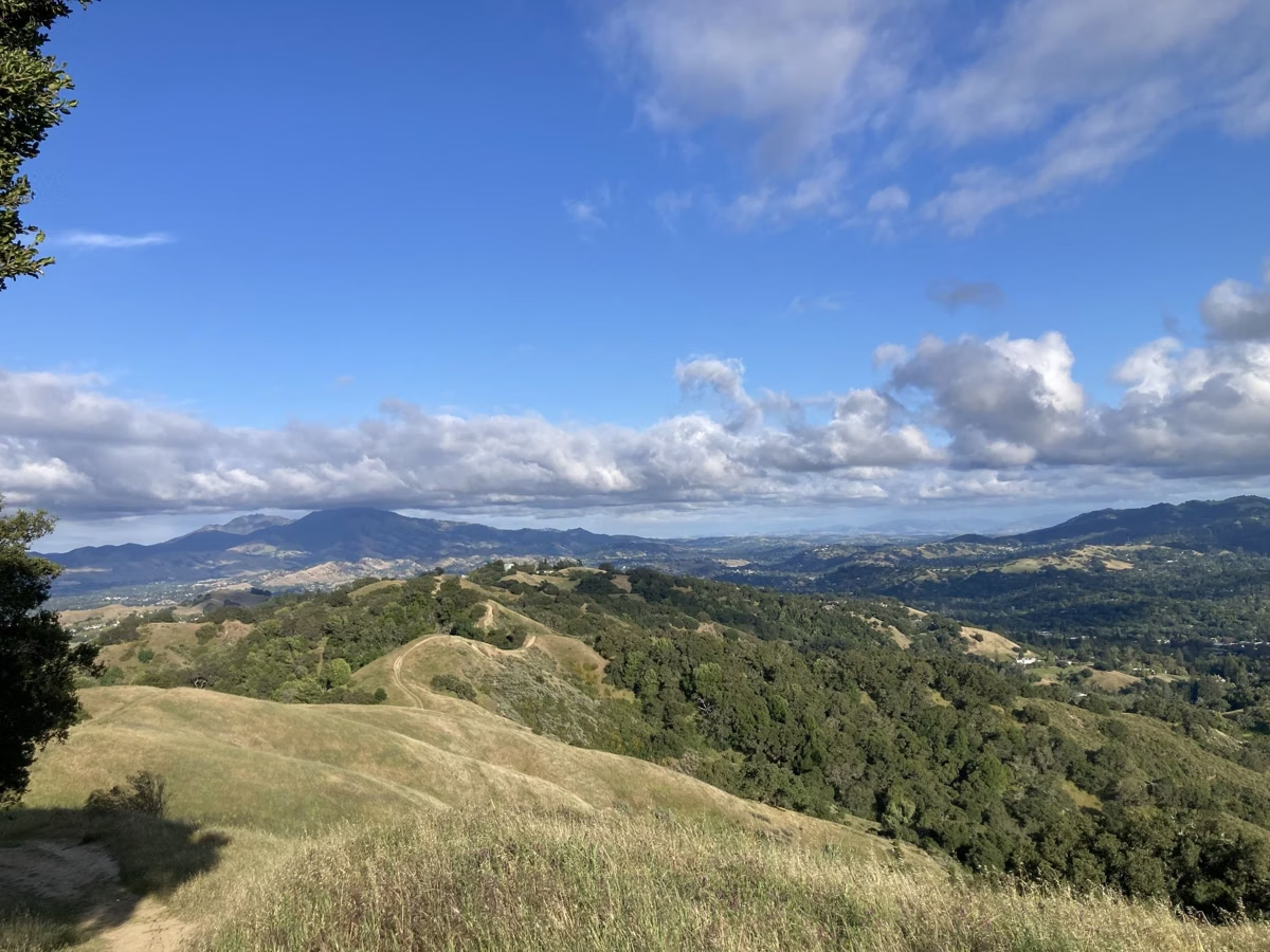
Hiking Trails FAQ
How many trail miles does Sugarloaf Ridge State Park have?
About 25 miles, shared by hikers and horseback riders, with bikes on designated fire roads.
What is the best hike at Sugarloaf Ridge?
Bald Mountain is the classic: 5.6 miles round trip with 1,529 feet of climbing to a 2,729-foot summit. For something shorter, the 2-mile Pony Gate-Canyon Loop passes the seasonal waterfall.
Are dogs allowed on Sugarloaf Ridge trails?
No. Dogs are allowed only in the campground, picnic area and paved developed areas, not on trails, dirt roads or the backcountry.
Is there an easy hike at Sugarloaf Ridge State Park?
Yes. The Creekside Nature Trail is about 1 mile, flat and shady, and starts at the main day-use lot.
How long is the hike at Sugarloaf Ridge?
Suggested hikes range from about 1 mile on the nature trail to 8.8 miles out to the Red Barn. Most visitors pick a 2-mile loop or the 5.6-mile Bald Mountain climb.
Facts checked against the California State Parks page for Sugarloaf Ridge State Park on October 24, 2026.