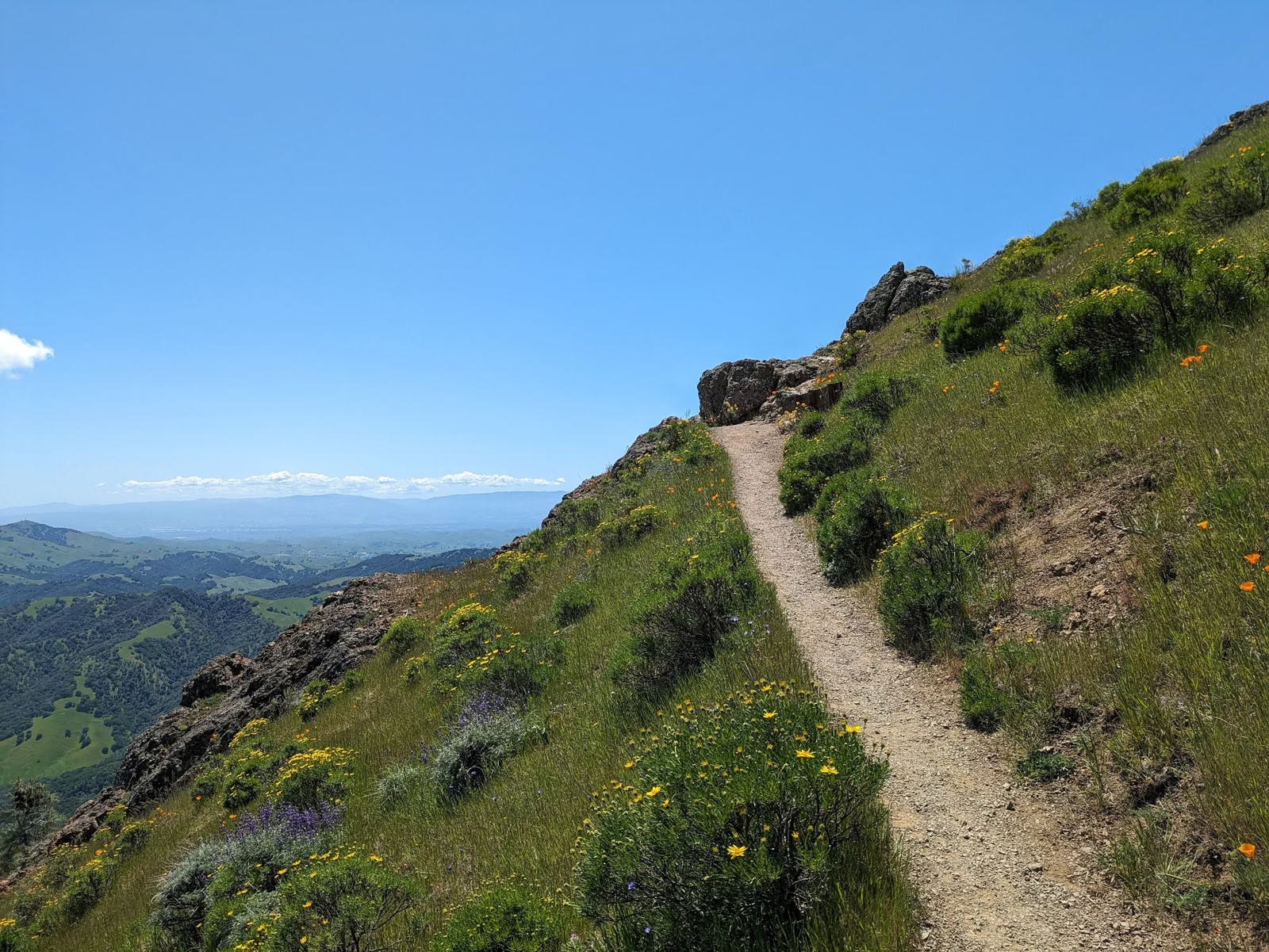
Bald Mountain
Bald Mountain is the highest point in Sugarloaf Ridge State Park at 2,729 feet. The standard hike is 5.6 miles round trip with 1,529 feet of climbing, and takes about three hours. Start at the main day-use parking lot, take the Stern Trail or the Lower Bald Mountain Trail, then turn right onto the Bald Mountain Trail and follow it to the top. When the air is clear, the view takes in the Sierra Nevada and the Golden Gate Bridge.
Bald Mountain at a Glance
How to Hike It
- Park in the main day-use lot (pay the day-use fee first; see Hours & Fees).
- Take either the Stern Trail or the Lower Bald Mountain Trail; both lead up to the Bald Mountain Trail.
- Turn right on the Bald Mountain Trail.
- Keep climbing to the summit. Along the way you pass the first Red Mountain Trail junction, which is the turn for the shorter Headwaters loop.
- Return the way you came for the 5.6-mile out-and-back.
The hiking guide rates it moderate to strenuous with 70 to 90 percent of the route in the sun.
Loop Options
- Bald Mountain Loop, 6.6 miles: from the summit, turn right onto the Gray Pine Trail (the guide warns not to take the High Ridge Trail by mistake), cross a seasonal creek, then turn right on the Meadow Trail, or stay left a little farther and come down the Hillside Trail. About three and a half hours.
- Red Mountain and Headwaters, short version, 5.3 miles: turn right onto the Red Mountain Trail well before the summit, right on the Headwaters Trail, slight left on the Vista Trail, right on Gray Pine, and back on Meadow or Hillside. This skips the summit.
- Summit plus Red Mountain and Headwaters, 7.4 miles: summit first, then Gray Pine, Red Mountain, Headwaters and Vista back toward the start. About four hours.
- The Big Loop, 8.2 miles: Bald Mountain and Brushy Peaks together, with 2,000 feet of gain and steep Brushy Peaks sections over 40 percent grade.
- Red Barn, 8.8 miles round trip: from the Bald Mountain Trail, turn left on the High Ridge Trail for 1.4 miles to an old homestead barn at the end of state park property. Turn around there.
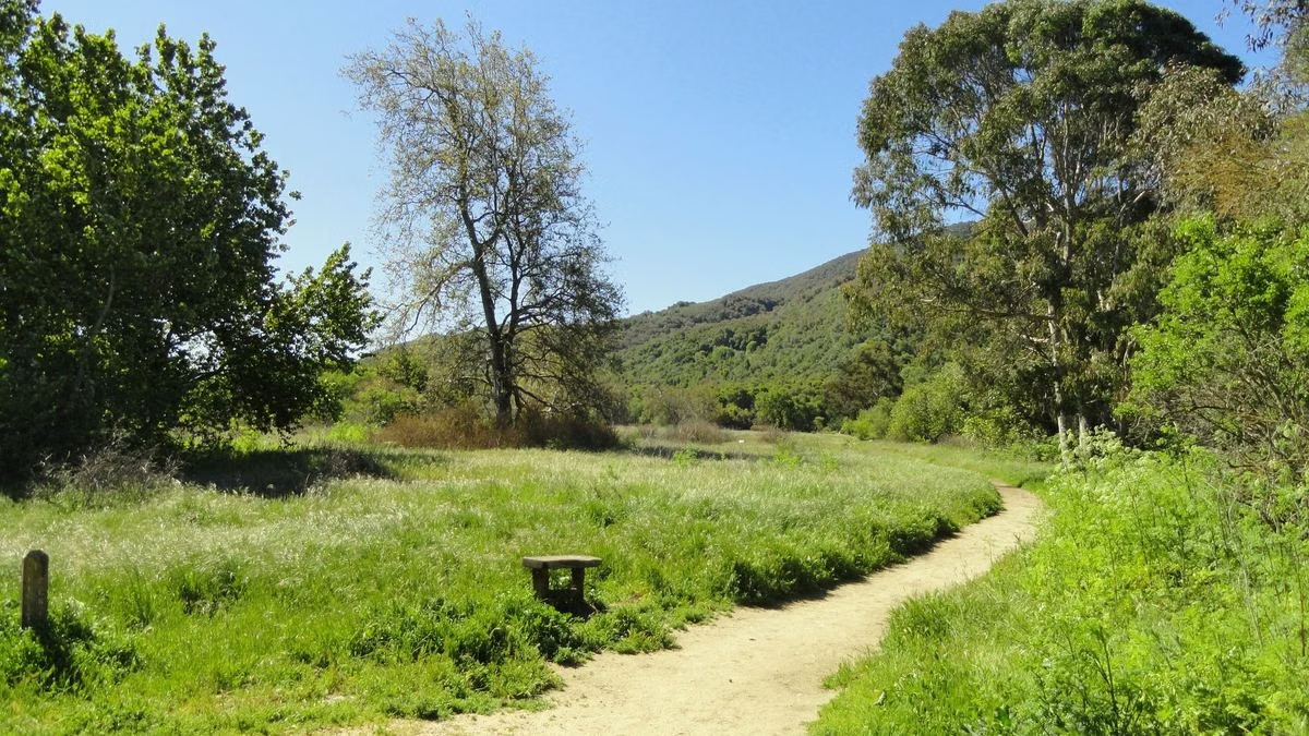
What You See From the Top
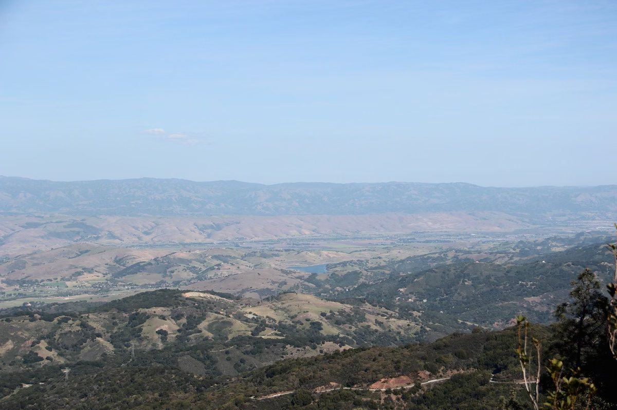
State Parks says the summit view on a clear day reaches the Sierra Nevada and the Golden Gate Bridge, and its brochure adds the Napa Valley and Mount Saint Helena to the north. The operator's hiking guide lists San Francisco Bay and Mount Diablo to the south, Mount Tamalpais to the southwest, and the Coast Range and the Pacific to the west.
When to Go
- Spring: green hills and wildflowers, and the waterfall may still be running on the way back down (waterfall).
- Summer: hot and dry; State Parks' brochure says summer days are often in the 90s. Start at first light and carry plenty of water, because there is no water on the trail.
- Fall and winter: cooler, clearer air. Trails can be muddy and creek crossings higher after storms (weather).
Know Before You Go
- No dogs on this or any trail.
- Bikes are allowed only on designated fire roads; check trailhead signs.
- Watch for poison oak beside the trail.
- Tell someone your route, and leave time to be back before the park closes at 10 p.m.
Good For / Maybe Skip If
Good for: summit workouts, big views, and spring wildflowers on open slopes.
Maybe skip if you want shade or a short walk. The 2-mile Pony Gate-Canyon Loop stays mostly under trees (waterfall loop), and the Creekside Nature Trail is flat and about a mile (easier hikes).
Bald Mountain FAQ
How long is the Bald Mountain hike at Sugarloaf Ridge?
5.6 miles round trip with 1,529 feet of elevation gain, about three hours. The Bald Mountain Loop via the Gray Pine Trail is 6.6 miles.
How high is Bald Mountain in Sonoma County?
Bald Mountain in Sugarloaf Ridge State Park is 2,729 feet, the highest point in the park.
Where does the Bald Mountain Trail start?
From the main day-use parking lot. Take the Stern Trail or the Lower Bald Mountain Trail up to the Bald Mountain Trail, then turn right.
Can you see the Golden Gate Bridge from Bald Mountain?
Yes, on a clear day. State Parks says the summit view reaches the Golden Gate Bridge and the Sierra Nevada.
Is the Bald Mountain hike hard?
The park rates it moderate to strenuous, with 1,529 feet of gain and 70 to 90 percent of the route in the sun, so start early in summer.
Facts checked against the California State Parks page for Sugarloaf Ridge State Park on October 24, 2026.